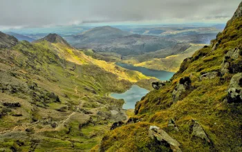
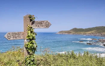
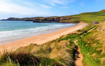
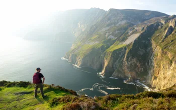
‘The Golden Road’ is the evocative name of 5,000-year-old trail that follows the spine of the relatively little-known Preseli Hills in Pembrokeshire.
Used since Iron Age times, the route provides tremendous views – on really clear days you may see as far east as Worms Head on the Gower; to the north the huge arc of Cardigan Bay sweeps up towards Snowdonia and the Lleyn Peninsula; westwards across the deep blue Irish Sea you might be able to make out the paler blue outline of Ireland’s Wicklow Hills; and immediately south St. David’s Head, St. Brides Bay and Pembrokeshire’s offshore islands delineate the Pembrokeshire Coast National Park shoreline.
The start and finish point is Tafarn Sinc (Zinc Tavern), a traditional Welsh pub with woodburning stove, sawdust strewn about the floor and its own brew, Cwrw Sinc, which very much gives you something to look forward to at the end of the walk.
From the pub car park a short trudge along tarmac takes you to a bridleway which climbs quite steeply northwards up the slopes of Cwmcerwyn, at 1759-feet the highest point in Pembrokeshire – even so, less than an hour of walking will see you on the summit.
And it’s all easy from here on. The gentle descent north from Foel Cwmcerwyn leads you to the Golden Road itself, along which it’s quite possible the locally quarried bluestones of Stonehenge were transported, who knows how…?
Turn left onto the Golden Road, marked on the map as a bridleway, follow it for half-a-mile or so until you come across a gate leading into Pantmaenog Forest, and pop through this for the quiet, easy descent beside pines and a tinkling stream back to the pub.
Last one back gets the first round….


