The summit of the evocatively named Table des Trois Rois (Table of the Three Kings) is so called because according to legend this is where the kings of Aragón, Béarn and Navarre met in the Middle Ages to agree the frontiers of their respective territories.
They must have been keen mountain men, for it’s a stiff old hike to get up there… Starting from a narrow track above the village, you pass through sun-dappled woodlands with every now and again a glimpse down to the densely wooded Aspe Valley or up to the crags and pinnacle of your target, the 2421-metre Table des Trois Rois.
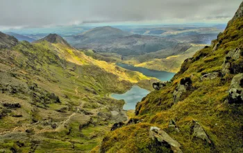
Following short length of trail that’s literally cut into a cliff face you then pick your way across steep talus slopes, onwards and upwards through low juniper bushes and eventually onto a limestone plateau in which sits the deep blue Lac de Lhurs glittering in the sunlight as the calls of choughs and crows bounce off the crags above.
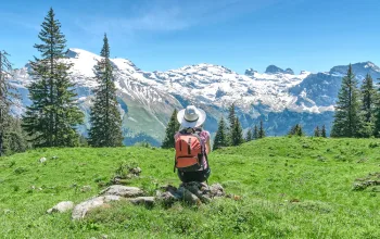
This is a good place to take a break before the energetic clamber up to the Table des Trois Rois, from where you can gaze north to the 2,504-metre Pic d’Anie, a majestic summit which marks the western end of the High Pyrenees – from here the range tumbles gradually down to eventually dip its foothills in the waters of the Atlantic, whilst hidden beneath the lower slopes of the mountain is the entrance to the Gouffre de la Pierre St-Martin, one of the most extensive underground cavern systems in the world.
Your return route retraces your footsteps down the mountain, during which you can immerse yourself in the views and, later, in the silence of the woods. You’ll meet relatively few people on either the ascent or descent, which says something for how quiet these mountains are when you consider the organised chaos that the bigger and better-known peaks to the east become in mid-summer.
Le Table de Trois Rois, French Pyrenees
The ascent of the Table de les Trois Rois is a great introduction to the mountains of the western Pyrenees

- Details
- Written by: Alf Alderson


