Cheddar Gorge Walk - Why Go?
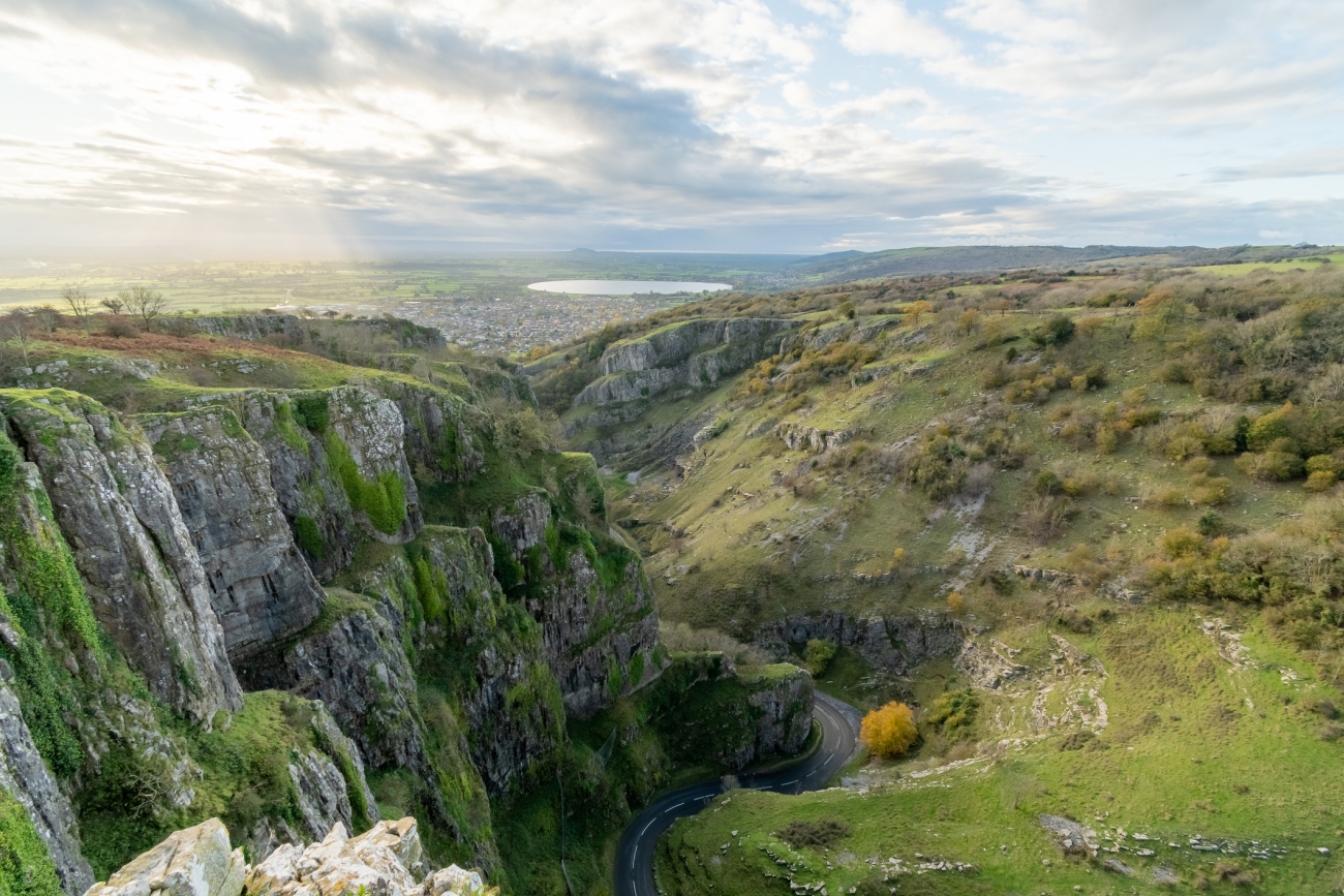
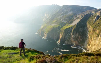
Situated in the Mendip Hills Area of Outstanding Natural Beauty (AONB), Cheddar Gorge is one of the Southwest's most spectacular natural features. At 122 metres deep and 4.8km long, it's the England's largest gorge, and it's rugged crags and romantic cliffs attracts a steady stream of visitors year-round.
There are several walking routes round here, including kid-friendly short hops, but if you're looking for something a bit more serious, Cheddar Gorge offers some tricky hikes and scrambles - and it's all easily accessible from nearby Bristol.
Cheddar Gorge Walk - What to expect
As a National Trust site, Cheddar Gorge is well-signposted and the walking routes are always easy to follow. However the steep sides of the gorge, carved out by the last ice age, mean many of the walks involve physically demanding uphill climbs.
Younger, older, or less physically able visitors, may be better off seeing the sights from the road which runs along the bottom, or enjoying the view from one of the various cafés scattered along its length.
Cheddar Gorge Walks can be muddy and slippery, especially in winter, so it's worth having a decent pair of walking boots. You'll need a car to reach Cheddar Gorge from Bristol, but once you get there, parking is easy. There are several carparks along the length of the Gorge - and it's worth it, the rolling hills of the Mendips are simply stunning, and offer some of the best walks in the Bristol area.
Cheddar Gorge Walk - The Route, Part 1
6.4km / 1.5 - 2 hours
If you want the full Cheddar Gorge experience, and the best views, we'd recommend taking on the full circular walk. Start at the National Trust Information Centre at the lower, western end of Cheddar Gorge, and clim up the stony path opposite.
Turn right at the first finger post, and climb up the steep path through the woods for 15-20 minutes, keeping the stone wall to your right as you climb. Once you reach the top of the Cheddar Gorge cliff at this point, take a moment to look around you - you'll get fantastic over the Somerset Levels, Bridgewater Bay, and the village of Cheddar below you. If the weather's clear, you should be able to see Glastonbury Tor to the South East.
From here, you'll walk north east along the edge of the Cheddar Gorge cliff.
Cheddar Gorge Walk - The Route, Part 2
At the top of the Gorge, near black rock, the path will start descending steeply down into the limestone Gorge. The tracks are stony in places, and a series of steps should make the climb easier, but the muddy sections can be treacherous when wet, so take care. After crossing the road at the bottom, the path climbs steeply up the other side, before levelling out.
The route along the south side of the gorge is well signposted and should be easier to follow. Just make sure you don't veer off onto the West Mendip Way, when it branches off to the left. The final descent is again, a steep one. So by the time you walk back to the National Trust Centre at the start, you'll have earned your cup of tea / pint (delete as appropriate). Make sure you also take home some of the cheese that this area is famous for - cheddar doesn't get any better!
Want more? Check out our full list of the best walks near Bristol for further advice on hiking in the environs of one of Britain's liveliest cities.


