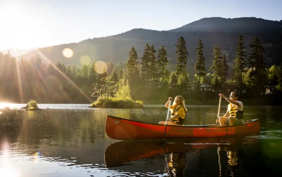
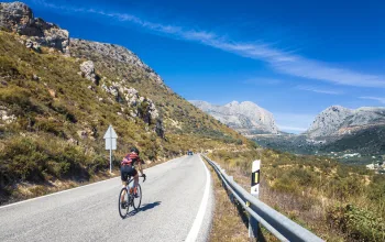
Further east towards the English border, on the slopes of Plynlimon (the highest point in the Cambrian Mountains), is the source of Afan Hafren (The River Severn). The Severn Way, Britain's longest riverside walk, begins at the Severn's source, descends into Llanidloes then Powys, and follows the route of the The Severn to Bristol. Southern Snowdonia falls into the area called Mid Wales and the inland lakes and rivers south of Dolgellau are a great place to ride the rapids or take to a canoe. Further south, The River Teifi, which winds its way from the inland lake of Lyn Teifi is a top spot for kayaking and canoeing with the gentle waters of the Teifi Gorge a great starting point for beginners. There are grade 2 rapids at Llandysul. The River Teifi's mouth, Cardigan Bay, is a fun an exciting place to kayak where you can expect to see Bottlenose Dolphins, harbour porpoises and seals. For cyclists the 21-mile (34km) Ystwyth Trail connects Aberystwyth, on the shore of Cardigan Bay, with Tregaron in the northern Teifi Valley, whilst road cyclists might try the Mid Wales section of route eight of the National Cycle Network, 'Lon Las Cymru', between Llandrindod Wells and Barmouth.
Mid-Wales
Mid Wales takes in the mountains of the Brecon Beacons and the central coast of West Wales, around Cardigan Bay. The 519 square mile Brecon Beacons National Park can be explored on foot, bike or on horse back. The 101-mile-long Beacons Way walk offers some of the best views the National Park has to offer, and for horse riders the area around Talgarth is a hit. Quad biking, rock climbing are alternative ways to see the area in and around the National Park, and some of the best limestone caving in northern Europe is found in the area too.
- Details
- Written by: David


